
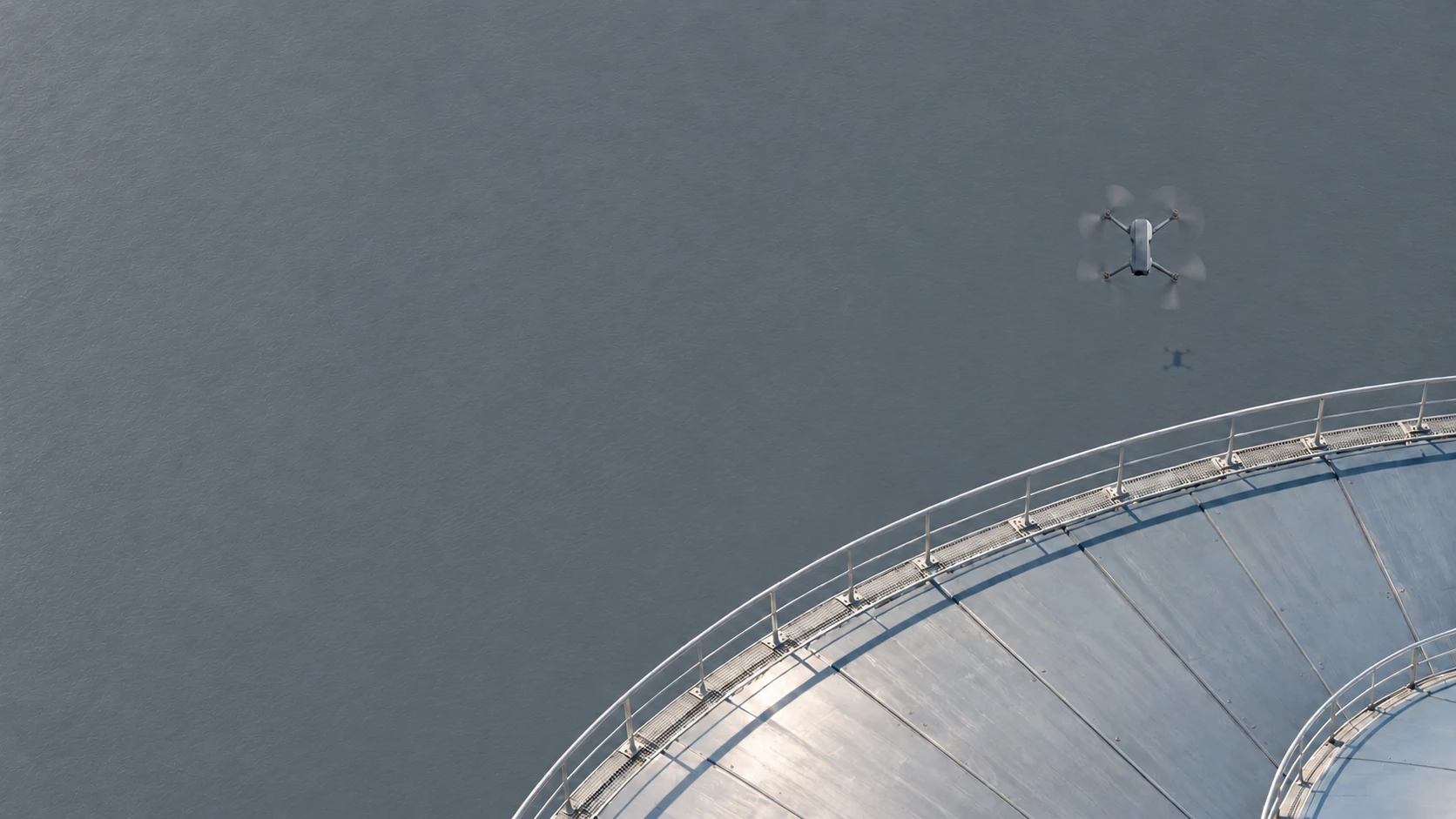
Detect drones.
Understand the airspace.
SKAINOR combines proprietary sensing, third-party systems and AI-assisted software into a common operational picture, with open integration into existing security and command-and-control (C2) systems.
Lower airspace is becoming an operational priority.
Unidentified drone activity creates both a security risk and an operational challenge. Operators need to verify detections quickly, assess events and document them reliably, without disrupting operations with false alarms and disconnected sensor reports.
Detect
Is there a relevant airborne object in the monitored area?
Assess
Which observations belong together, and how reliable is the classification?
Decide
What response is needed, and which system or team needs the information?
Solution & Product
Multiple sensors.
One common operational picture.
SKAINOR starts with proprietary acoustic sensing. Additional sensors, including cameras, radio-frequency sensors and radar, along with existing third-party systems, will be integrated in stages.
The software combines sensor reports, associates them with airborne objects and tracks, and makes the operational picture available in its own application or existing control centers.
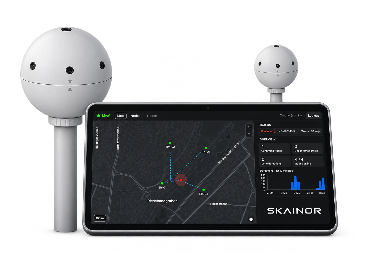
Sense
Proprietary sensors and connected systems provide indications of airborne objects and events in the monitored area.
Fuse
SKAINOR combines reports from multiple sensors and associates them with common objects and tracks.
Integrate
The operational picture is available in the SKAINOR application or delivered through defined interfaces to control centers, security operations centers (SOCs) and C2 systems.
How it works
From acoustic signal to operational picture.
Passive acoustic sensor nodes capture characteristic signatures and analyze them at the point of detection.
Multiple sensors.
One operational picture.
SKAINOR brings together proprietary and connected sensor sources, delivering information where operators need it. EO/IR stands for electro-optical and infrared, RF for radio frequency and API for application programming interface.
Sensor sources
- SKAINOR Acoustic
- EO / IR
- RF
- Radar
- Third-party sensors
SKAINOR Intelligence Platform
AIRSPACE
- Standardize sensor data
- Detect & classify objects
- Sensor fusion & tracking
- Assess & escalate
- Open APIs & integration
Applications & control centers
- SKAINOR C2-Software
- Control center
- SOC
- Existing C2 / security system
- Partner applications
For sites where unidentified air activity has consequences.





Identify risks earlier. Protect operations.